Tallahassee, turn up the air conditioning and draw the shades because severe heat and possibly record-breaking temperatures are approaching.
A heat wave is predicted to extend from Sunday, July 27, through Wednesday, July 30, according to the Tallahassee National Weather Service. Lows could only fall into the upper 70s or close to 80, while highs could reach 100.
In Tallahassee, the heat index—a gauge of how hot the air actually feels—is predicted to reach 110 on July 28 and 29.
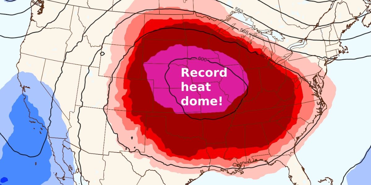
The reason? a huge heat dome that will travel across a large portion of the United States throughout the month of July.
According to Molly Merrifield, a NWS Tallahassee meteorologist, dry air is usually the cause of hot periods in Tallahassee. With the upcoming weather pattern, that won’t be the case.
According to Merrifield, “we’re going to get that unfortunate combination of hot and really humid, and that’s what will cause our heat index to really climb.” “So, even by Florida July standards, it’s really hot.”
According to Merrifield, the heat is a potentially fatal hazard that only becomes worse with time due to high daytime highs and low nighttime lows.
When that occurs, Merrifield explained, “the body can’t cool itself overnight, so you’re never really getting that respite that you need.” It truly begins to exacerbate the symptoms if you accumulate multiple days of it.
People should prepare an emergency kit with food, water, and medication for the hot weather, the Weather Service advised. Check on friends, family, neighbors, and pets, stay in air conditioning and avoid the sun if at all possible, drink lots of water, and take breaks if working outside.
How long will this heat wave last?
Merrifield noted that when Tallahassee returns to the increased likelihood of rain that has been observed for a large portion of the summer, the weather pattern is expected to shift by the middle of the week, maybe by Thursday.
“We’re still expecting it to be pretty hot,” she stated. However, there is a slight shift in the pattern where the heat-producing ridging just shifts to the west, and we begin to have another boundary sag into the region from the northeast, as we have been experiencing. Thus, it will return to a slightly wetter than usual pattern.
For this time of year, the typical high and low are 92 and 73 degrees, respectively.
Read Also: Louisville’s Fall Weather Outlook: Will Temperatures Rise or Dip?
The temperature in Tallahassee would reach 100 degrees for the first time in almost 11 months.
According to Merrifield, the last 100 degree day in Tallahassee occurred on September 1, 2024, when the official high at Tallahassee International Airport reached 101 degrees. The first 100-degree day in Tallahassee occurred on June 22 of last year.
“On average, the first 100-degree day of the year is on June 21 and the last is July 30,” she wrote in her email. “We average three 100-degree days per year, and last year we had four.”
The averages are based on the present 30-year climatology, she added.