Tropical disturbances in the northern Gulf Coast have a short window of opportunity to form, but they nevertheless pose a risk of flooding rainfall, especially in Louisiana.
The tropical disturbance that is now moving westward and has its core near the northern Gulf Coast is known by the National Hurricane core as “Invest 93L.”
It has a very slim chance of becoming a tropical depression before it crosses land and climbs the lower Mississippi Valley.
As you can see from the radar graphic at the bottom of this page, regions of locally heavy rainfall have already spread westward into Louisiana state.
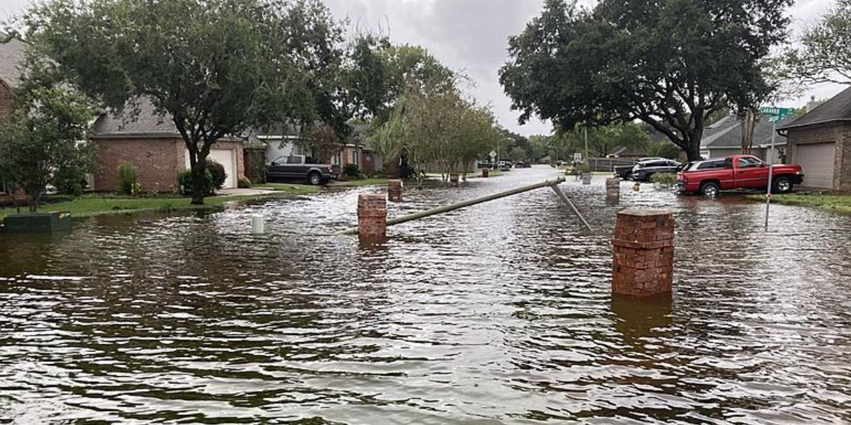
Several locations in the southeast part of Louisiana, including Baton Rouge, were under a flood warning early Thursday morning.
The National Weather Service said that between two to eight inches of rain had already fallen in a few locations near Houma and Morgan City, Louisiana.
Read Also: Widespread Severe Weather Expected Saturday, Including in Chicago and Detroit
The Risk of Flooding Rainfall
While some isolated, locally heavy rain may persist into Saturday in some parts of the lower Mississippi Valley, the main risk of flooding rain near the Gulf Coast will persist from Friday into Saturday.
From the easternmost portion of Texas to southern Louisiana, southern Mississippi, southern Alabama, and the western portion of the Florida Panhandle, the largest rainfall totals are expected to fall with the greatest intensity along and south of the Interstate 10 corridor.
More than six inches of rain might fall on parts of those locations on Saturday, with locally higher totals expected in places where rain bands pass over the same spot again.
The National Weather Service reports that flood watches have been issued for parts of southern Mississippi and the whole southern Louisiana region.


