Two and a half inches of rain fell over Melbourne by Tuesday afternoon, breaking a daily rainfall record that had been in place since 1990. The record had been held by the city of Melbourne.
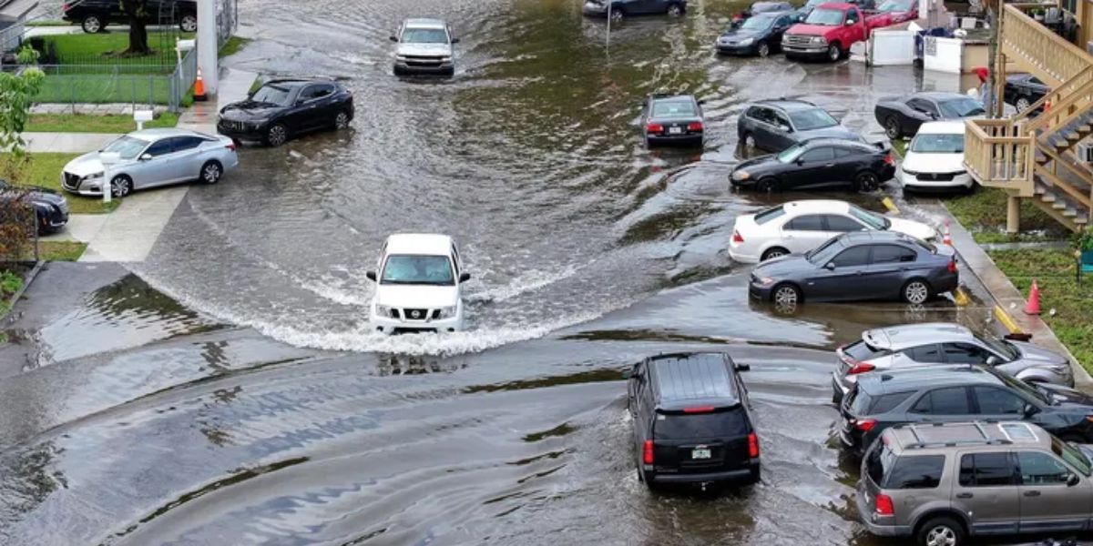
The flooding of low-lying roads and intersections in Brevard County occurred very quickly, which caused evening commutes to be disrupted and led to the closure of streets.
The National Weather Service in Melbourne reports that the previous record for the 22nd of July was 2.50 inches, which was the most recent record to be set 35 years ago. Standing water was left behind by the storm that moved north along the Space Coast today.
It was found along US-1, Wickham Road, and in various areas that are located east of Interstate 95.
City officials in Melbourne warned motorists to steer clear of flooded roads, particularly in the vicinity of the Eau Gallie Causeway and the downtown waterfront, where storm drains were having difficulty keeping up with the volume of traffic.
Residents were reminded by Brevard County Emergency Management that even six inches of rushing water can sweep automobiles off the roads. “Turn around, don’t drown,” the management team said.
Read Also: Weekly Forecast: Rainy Conditions Likely Across Emmet County
As the saturated ground tries to absorb the deluge, there is a possibility that flash flood threats could persist deep into Wednesday morning. Residents are strongly recommended to check local warnings, charge their mobile devices, and contact Florida Power & Light in the event that they experience a power loss.
Today’s precipitation comes in the midst of an already rainy month of July, bringing to mind the summer surges that occurred in 2021.
As forecasts keep an eye out for further thunderstorms in the afternoon, showers are still probable into the middle of the week. Depending on the severity of the ground saturation, additional alerts may be issued.


