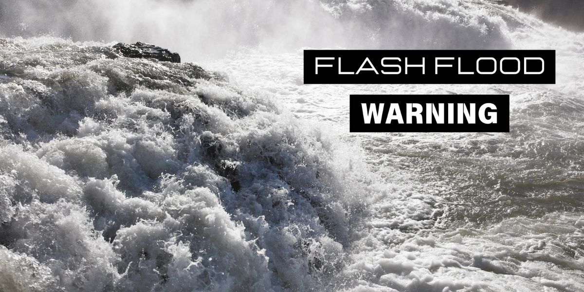
PUEBLO, Colo. – The National Weather Service (NWS) office in Pueblo has issued multiple flash flood warnings for several counties in southern Colorado as intense thunderstorms continue to drop heavy rain across the region.
As of 4:00 p.m. on Wednesday, July 23, Doppler radar indicated thunderstorms producing significant rainfall across southeastern Saguache County, northeastern Alamosa County, western Custer County, and northwestern Huerfano County.
These areas are under a flash flood warning until 7:15 p.m. Wednesday evening.
According to the NWS, rainfall totals between 0.5 and 1.5 inches had already been observed in the affected areas. Forecasts suggest an additional 1 to 2.5 inches of rain per hour could fall, potentially worsening already hazardous conditions.
The heavy rainfall is expected to cause flash flooding of small creeks and streams, urban areas, highways, streets, underpasses, and other low-lying or poor drainage areas.
There is also an increased risk of debris flows, particularly along and near the west-facing slopes of the Sangre de Cristo Mountains.
In addition to the main warning area, a separate flash flood warning has been issued for Central Fremont County, which will remain in effect until 6:45 p.m. Wednesday.
Read Also: Kentucky Under Heat Advisory as Heat Index Tops 105°F Through Thursday
The National Weather Service urges residents and travelers in these areas to take immediate precautions:
- Do not attempt to cross flooded roads or drive through water-covered streets. “Turn around, don’t drown,” NWS emphasizes.
- Remain aware of your surroundings and monitor local alerts.
- If you live near creeks, rivers, or drainage areas, be prepared to move to higher ground if flooding develops.
Flash flooding is a serious threat that can occur quickly, especially in mountainous terrain and burn scar areas.
Residents are encouraged to stay informed by monitoring local news outlets, NOAA Weather Radio, or the NWS website for the latest updates.


