At approximately 6 p.m. on July 23, the National Weather Service stated that the public had reported a destructive tornado between Lena and Oconto in Oconto County.
Many power lines were down across the area, along with a few “good-sized” trees, according to Oconto area Emergency Management Director Jon Spice.
According to him, the Gillett region was most likely the most severely impacted, but Berry Lake and Underhill “got hit pretty hard, too.”
“I have not heard of any injuries and we have zero – zero – reports of any injured people, and we’re hoping for sure that it stays that way,” Spice added.
According to Oconto Electric Cooperative, 826 members were impacted by 26 outages as of 7:15 p.m. It stated that the Deer Spring Lake and Berry Lake areas were “hit hard” as Underhill requested more fire departments to help.
When it came to reporting electricity to customers, Wisconsin Public Service was making progress. 326 Oconto customers remained without power as of 8:45 p.m., compared to 950 approximately forty-five minutes earlier.
There were 1,069 consumers without power in Marinette County, down from 4,097; 889 customers in Brown County, down from 2,538; and 1,329 customers in Door County, down slightly from 1,394.
During his tour of the county, Spice noticed some damaged residences and a store on State 22/32, just east of Gillett, with a badly damaged roof.
He claimed that although he had not yet seen anything in person, he had heard of damage in the Oconto region, including downed power lines and many trees.
Read Also: Iowa Weather Warning: Heat Index Near 105°F for Davenport, I-80 Region Thursday
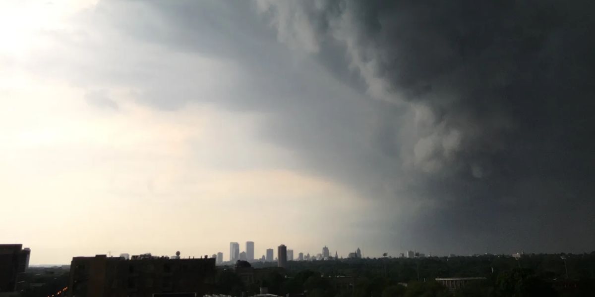
Marathon, Menominee, Marinette, Langlade, Shawano, Waupaca, Oconto, Outagamie, Brown, and Door counties were all under service thunderstorm warnings on Wednesday night after a powerful band of thunderstorms moved across northern Wisconsin.
Marathon, Menominee, Shawano, Oconto, and Outagamie counties were all under a tornado warning.
On Thursday, July 24, thunderstorms and heavy rain are expected, with some storms having the potential to intensify, according to the National Weather Service.
There is also a risk of thunderstorms on Saturday, July 26, and Monday, July 28. Conditions could be hot and muggy, particularly in the early part of next week.


