The Quad Cities region is bracing for a combination of intense thunderstorms and dangerous heat, with residents facing muggy nights and the risk of strong to severe storms through Monday.
According to the National Weather Service, temperatures will hover near or above 90°F throughout the weekend, creating a persistent heat wave that could feel even hotter due to high humidity. The heat index is expected to climb into the triple digits, making for sweltering conditions.
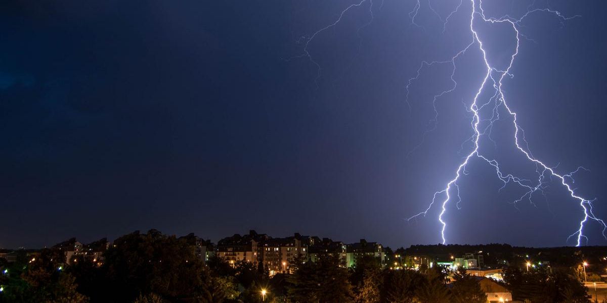
Thunderstorm Risks Begin Thursday Night
The weather system is expected to ramp up beginning overnight Thursday into Friday, with thunderstorms intensifying across the region.
The greatest risk for severe weather will occur tonight into Saturday morning, where isolated severe storms could bring a combination of heavy rainfall, damaging winds, and hail.
This could lead to hazardous travel conditions, particularly along major highways like I-80 and I-74, where torrential rain and strong wind gusts are likely to reduce visibility and create slick, dangerous roads.
Power Disruptions and Travel Hazards
Local officials are urging drivers to exercise extreme caution, especially on I-80 and I-74, where flash flooding and strong wind gusts may cause significant disruptions.
Meteorologists are also warning that the storms could lead to widespread power outages, with high winds potentially knocking down trees and power lines across Scott, Rock Island, Clinton, and surrounding counties.
Residents are urged to charge their mobile devices, secure outdoor furniture, and review their severe weather safety plans in preparation.
The heat could also strain local power grids, and there is concern that cooling systems may struggle to keep up with the demand. In the event of power outages, local schools and community centers may open as cooling shelters to provide relief for those affected.
Heat Advisory and Health Precautions
In addition to the storms, excessive heat advisories have been issued across the area, with high humidity levels pushing the heat index well beyond 100°F. Meteorologists emphasize that this combination of high heat and humidity could have serious health impacts, particularly for vulnerable populations. Residents are advised to stay hydrated, use air conditioning or fans, and limit outdoor activities during the hottest parts of the day.
The risk of severe storms and extreme temperatures is expected to continue through the weekend, with temperatures remaining in the 90s and the threat of storms intensifying on Saturday evening into Sunday morning.
By Monday night, the Quad Cities will likely experience a gradual cooldown, though thunderstorms and high heat may persist throughout the day.
As the weekend unfolds, thunderstorm and heat advisories could be extended or upgraded, depending on the severity of the conditions. Residents are encouraged to stay updated on local forecasts, as weather conditions may change rapidly.
Severe weather could significantly impact local communities, including the possibility of flooding and power disruptions, so staying informed is crucial.
In summary, the Quad Cities will face a dangerous combination of heat and storms through the weekend, and residents are advised to take precautionary measures now to stay safe. Keep a close eye on local weather alerts and prepare for potential interruptions to both travel and power.


