Wilmington, N.C. — A brief window of relief from sweltering heat is unfolding across parts of the Carolinas today, as showers move inland from the coast.
But forecasters are urging residents not to get too comfortable—dangerous heat and humidity are poised to return by Saturday, with heat index values expected to soar into the triple digits.
According to the National Weather Service (NWS) in Wilmington, a developing sea breeze front will help transport coastal showers inland through the afternoon hours.
Areas from Wilmington and Myrtle Beach to Lumberton and Florence will likely see scattered rain between 2 p.m. and 5 p.m., bringing brief cooling but also potential traffic disruptions.
Timeline and Locations Affected:
- Morning to Early Afternoon: Showers develop along the immediate Carolina coastline, including:
- Wilmington, NC
- Myrtle Beach, SC
- Carolina Beach
- Surf City
- Mid- to Late Afternoon (2–5 p.m.): Rain moves inland toward:
- Lumberton, NC
- Florence, SC
- Whiteville, NC
- Marion, SC
Forecasters emphasize that while no severe weather is expected today, brief downpours could lead to reduced visibility, ponding on roads, and slower afternoon commutes, especially on major highways like I-95 and U.S. 74.
Mild Today, But Heat Wave Looms
Today’s temperatures will be moderate by midsummer standards, with forecast highs:
- Upper 80s along the coast (Wilmington, Myrtle Beach)
- Low 90s inland (Lumberton, Florence)
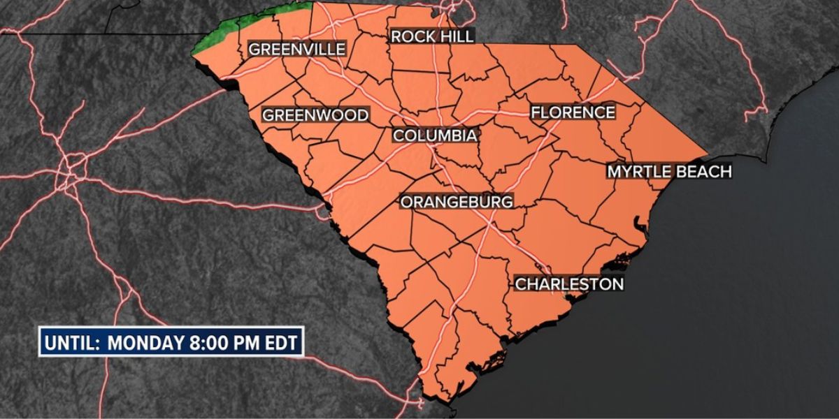
Humidity will be tolerable today, but a major warm-up is on the way. By Saturday, both North and South Carolina will fall back under the influence of a heat dome, bringing oppressive heat and stifling humidity:
- Heat indices between 102°F and 107°F are likely Saturday and Sunday
- Minimal nighttime cooling will add to health risks, especially for vulnerable populations
“Today offers a short-lived break,” the NWS stated Thursday morning. “Unfortunately, conditions will quickly deteriorate by the weekend, particularly across interior counties.”
Read Also: North Carolina Heat Alert: Feels-Like Temps to Top 105°F Into Early Next Week
Health, Travel & Power Concerns This Weekend
The NWS and state health officials are urging the public to prepare for dangerous heat conditions through early next week. Recommendations include:
- Limit outdoor activity during the hottest part of the day (11 a.m. – 5 p.m.)
- Hydrate frequently, even if you’re indoors or inactive
- Wear light-colored, breathable clothing
- Check on elderly neighbors, children, and pets
- Avoid leaving people or animals in parked vehicles
Utility companies are also monitoring conditions closely, as power grid demand is expected to surge due to widespread air conditioning use. Minor service delays or usage warnings could be issued in high-demand areas, particularly during evening hours.
Stay Weather-Aware
While Thursday’s rainfall is not expected to be severe, more intense weather could accompany the weekend heat, including isolated thunderstorms and pop-up showers along the sea breeze boundary.
Residents are encouraged to monitor:
- NWS local forecasts at weather.gov
- Emergency management social media for county-specific alerts
- Local news and mobile apps for real-time radar and advisories
This pattern reflects the increasing frequency of extreme heat events across the Southeast. Additional heat advisories or excessive heat warnings are likely to be issued Friday as high pressure intensifies and spreads inland.


