The temperatures during the day on Thursday were in the 60s and 70s, giving the impression that it was fall.
In the course of the night, clouds will break up, and by the early morning hours of Friday, they will gradually become partially cloudy.
The far west and northern parts of Chicagoland will experience low temperatures that are frigid for the month of July, with temperatures plunging into the range of the 50s.
Low temperatures in the low to middle 60s are expected to be experienced throughout the rest of the Chicago region.
As of Friday, the sky is partly cloudy, and the high temperature is expected to be in the lower 80s. The region is expected to have a recurrence of showers and storms this weekend, particularly on Saturday.
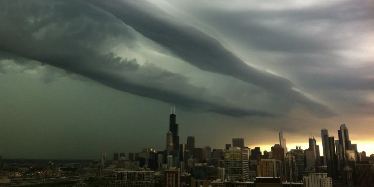
If you have plans to go outside on Saturday, you should make sure to keep a close eye on the forecast since any storms that form in the afternoon or evening have the potential to become dangerously strong or severe.
There is a possibility of high temperatures in the middle to upper 80s.
Even while there is a possibility of persistent showers and storms on Sunday, the potential for coverage is expected to be substantially lower in comparison to Saturday.
On Sunday, the high temperatures will range from the upper 70s to close to 80 degrees.
Read Also: High Pressure Keeps Coastal Empire Dry and Sizzling Through Monday
When it comes to the Chicago area, the following week is shaping up to be another scorching one. Monday is expected to see high temperatures in the middle of the 80s and a few storms.
It is anticipated that temperatures will continue to rise into the 90s for a few days after Monday. Tuesday will be close to 90 degrees, and then Wednesday and Thursday are forecast to be in the middle of the 90s.
When the high heat arrives the next week, there is a possibility that a stormy weather pattern will form; however, there are a lot of uncertainty regarding the timing and intensity of the storm at this point in time.


