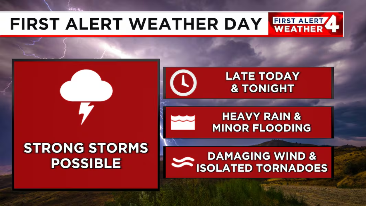
A weather alert has been issued for today, with the possibility of severe storms expected to continue through early tonight. Forecasters say the storms could bring heavy rain, strong winds, hail, and frequent lightning.
The National Weather Service has placed several areas under a level 2 out of 5 risk, which means the storms may be scattered but could turn strong or even severe in some places.
This alert applies to parts of Ohio, Indiana, and surrounding states, where moisture and heat from earlier in the day are combining to create unstable conditions in the atmosphere.
That mix could lead to fast-forming thunderstorms by the evening, especially during peak heating hours.
People living in areas under this alert are advised to stay updated with local forecasts. Weather experts suggest having multiple ways to get warnings, like weather apps or radios, especially during the night hours when storms may pass unnoticed.
High winds could knock down trees and power lines, while hail may damage cars and roofs. Street flooding is also possible in low-lying areas due to sudden heavy rainfall.
If you’re heading out tonight, try to stay indoors when thunderstorms are active. Avoid parking under trees or power lines, and keep an eye on changing sky conditions. Those with evening travel plans should check the forecast and be prepared for sudden delays or rerouting.
This weather system is expected to weaken overnight, but another round of storms is possible later in the week. Keep watching local updates and alerts from the National Weather Service to stay informed and safe.


